Best Hiking Trails Near Ottawa
A guide to the best hiking trails in and around Ottawa, from Gatineau Park's escarpment lookouts to a boardwalk through a boreal bog. Includes distances, difficulty, and seasonal tips.
Ottawa has over 200 km of hiking trails in Gatineau Park alone, plus conservation areas, Greenbelt trails, and a 387-km long-distance trail ending at Parliament Hill. Most trailhead parking is free.
This guide covers the best hikes in the region, from family-friendly boardwalks to challenging escarpment climbs.
Gatineau Park
Gatineau Park is the hiking hub of the Ottawa-Gatineau region — a 361-square-kilometre conservation park just 15 minutes from downtown, with over 200 km of maintained trails.
Easy Trails
Sugarbush Trail — 1.9 km loop, ~30 minutes. A gentle forest walk starting from the Gatineau Park Visitor Centre in Chelsea. Good for families and a quick introduction to the park.
Moderate Trails
Pink Lake Trail — 2.3 km loop, ~1 hour. The park's most popular trail — a boardwalk path with stairs leading to a lookout over Pink Lake, one of the few meromictic lakes in the world. The bottom layers of water haven't mixed with the surface in roughly 10,000 years. The lake is green, not pink — it's named after the Pink family who settled here in 1826. No dogs allowed.
Waterfall & Lauriault Trail — 4.5 km loop, ~1 hour 15 minutes. Features Bridal Veil Falls, best seen in spring when snowmelt creates a rushing cascade. Dogs on leash.
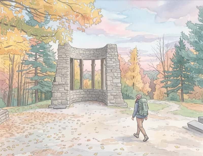
Carbide Willson Ruins — 3.25 km return, ~1 hour. Walk along Meech Lake to the atmospheric ruins of Thomas Willson's early 1900s fertilizer plant, with a dam and cascading falls. Open mid-May to mid-November. Dogs allowed.
Challenging Trails
King Mountain Trail — 1.8 km loop, ~1 hour. Short but steep — climbs to 300 metres above the Ottawa Valley on the Eardley Escarpment. Ten lookout points with sweeping views of downtown Ottawa, the river, and the valley. One of the best viewpoints in the region. No dogs.
Luskville Falls Trail — 4.2 km loop, ~2.5 hours. A 290-metre climb up the Eardley Escarpment to a fire tower with panoramic valley views. The waterfall at the start is most impressive in May. No dogs.
Skyline Trail — 5.3 km loop, ~2 hours. Multiple lookouts along the escarpment with 100 metres of elevation gain. Dogs allowed.
Wolf Trail — 10.1 km loop, ~3 hours. A serious hike with 220 metres of climbing to the Tawadina Lookout, with views across the Ottawa Valley. Dogs on leash.
Lusk Cave Trail — 8.5 km loop, ~4.5 hours. The longest and most remote trail, ending at a marble cave with an underground stream. Bring water shoes and a headlamp for wading through the cave. Open mid-May to late October. Dogs on leash.
Greenbelt Trails
Mer Bleue Bog
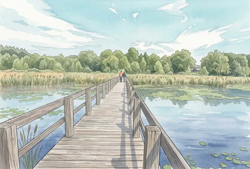
The Mer Bleue Bog boardwalk is a 1.2 km trail that takes you into the heart of a boreal bog ecosystem — a landscape normally found hundreds of kilometres farther north. Sphagnum moss, carnivorous plants, black spruce, and tamarack surround the boardwalk.
- Difficulty: Easy — flat boardwalk, suitable for families
- Access: Parking Lot P22 at the end of Ridge Road (free, 20 min from downtown)
- Best seasons: Spring for orchids, fall for the bog turning deep red
- Note: Dogs not allowed on the boardwalk
The broader Mer Bleue area has over 22 km of additional trails through forest and along the bog's edges.
Stony Swamp
Stony Swamp is a Greenbelt conservation area in western Ottawa with over 40 km of trails — the most of any Greenbelt section. Several short boardwalk trails wind through wetlands, beaver ponds, and forests.
- Jack Pine Trail — 3.1 km, boardwalk, from P9
- Old Quarry Trail — 3.1 km, boardwalk, from P5
- Beaver Trail — 1.2 km, boardwalk, from P8
The area has over 700 plant species — the highest biodiversity in the National Capital Region. Free parking year-round.
Green's Creek
A lesser-known Greenbelt area in east Ottawa with 5.5 km of trails through steep-sided ravines and plateaus formed by ancient Champlain Sea deposits. Natural lookouts over the Green's Creek valley. Free parking at P24 and P25.
Other Trails
South March Highlands
A 450-hectare conservation forest in Kanata with ~15 km of trails through Canadian Shield outcrops, mature sugar maple forest, and small ponds. Shared by hikers, mountain bikers, and dog walkers. Rugged terrain — expect rocky, rooty trails.
- Access: Junction of Klondike Road and Second Line Road, Kanata
- Best trails: Rockhopper Loop (3.6 km, easy), PWT Loop (7.7 km, moderate)
Rideau Trail
The Rideau Trail is a 387 km long-distance hiking trail connecting Kingston to Ottawa, ending at the Ottawa Locks at Parliament Hill. The Ottawa section covers 108 km through the Greenbelt and along the Rideau Canal corridor. Maintained by the volunteer-run Rideau Trail Association since 1971.
Dominion Arboretum
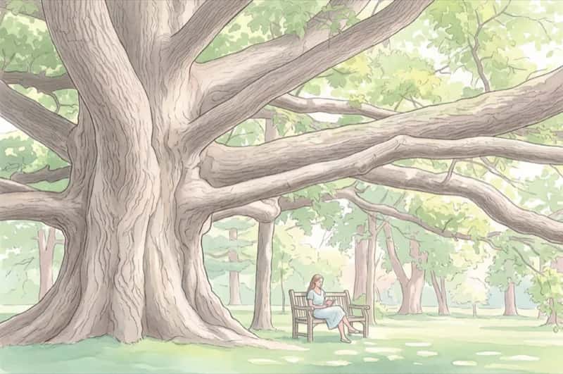
The Dominion Arboretum isn't a traditional hiking trail, but its 26 hectares of paths through 1,700+ species of trees and shrubs make it one of the best nature walks in the city. Especially beautiful in late April/early May (magnolias, cherry blossoms) and October (autumn colours). Free, dawn to dusk.
Seasonal Guide
| Season | Conditions | Notes |
|---|---|---|
| Spring (Apr–May) | Trails can be muddy. Stay on trail to prevent erosion | Luskville Falls best in May (snowmelt). Wildflowers appear |
| Summer (Jun–Aug) | All trails open. Can be hot and humid | Blackflies peak May–June. Mosquitoes worst June–July. Bring repellent |
| Fall (Sep–Oct) | Best season for hiking. Few bugs, comfortable temps | Peak colours early to mid-October. King Mountain and Champlain Lookout are the classic fall viewpoints |
| Winter (Dec–Mar) | Many trails closed. Snowshoe trails available | 90 km of designated snowshoe trails in Gatineau Park (winter pass required, from $10/day) |
Practical Tips
- Parking: Hiking trailhead parking in Gatineau Park is free year-round. Greenbelt parking is also free
- Trail maps: Download free maps via the Avenza Maps app (works offline with GPS). Also available as PDFs on the NCC website
- Dogs: Not allowed at Pink Lake, King Mountain, Luskville Falls, or Mer Bleue boardwalk. Allowed on leash on most other trails from April 15 to November 30
- Gear: Sturdy footwear with ankle support for escarpment trails. Waterproof shoes recommended in spring
- Water: Bring your own — there's no potable water at most trailheads
- Cell service: Limited or nonexistent on most Gatineau Park trails. Download offline maps before heading out
FAQ
What are the best hiking trails near Ottawa?
Top trails include King Mountain Trail and Luskville Falls Trail on the Eardley Escarpment for views, Pink Lake Trail for a unique meromictic lake, Carbide Willson Ruins along Meech Lake, and the Mer Bleue Bog boardwalk for a boreal bog experience.
Is parking free at Gatineau Park hiking trails?
Yes, hiking trailhead parking in Gatineau Park is free year-round. Greenbelt trail parking is also free.
Are dogs allowed on Gatineau Park hiking trails?
Dogs are not allowed at Pink Lake, King Mountain, or Luskville Falls. They are allowed on leash on most other trails from April 15 to November 30.
What is the best time of year to hike in Ottawa?
Fall (September to October) is the best season for hiking, with few bugs, comfortable temperatures, and peak autumn colours in early to mid-October. Spring brings waterfalls at their best but trails can be muddy.
How long is the Pink Lake Trail in Gatineau Park?
Pink Lake Trail is a 2.3 km loop that takes about 1 hour. It features a boardwalk path with stairs leading to a lookout over Pink Lake, one of the few meromictic lakes in the world.
📍Featured Places
Gatineau Park
A 361-square-kilometre conservation park just 15 minutes from downtown Ottawa. Home to over 165 km of hiking trails, beaches, lakes, and the Mackenzie King Estate. Free to enter; parking fees apply at some lots in summer.
Mer Bleue Bog
A 3,500-hectare conservation area in Ottawa's Greenbelt featuring a boreal bog ecosystem normally found much farther north. The 1.2 km boardwalk trail crosses a Ramsar Wetland of International Importance, home to carnivorous plants, orchids, and spotted turtles. Free admission and parking.
Dominion Arboretum
A 26-hectare arboretum on the Central Experimental Farm, home to over 1,700 species of trees and shrubs. Free to visit, with scenic lookouts over Dow's Lake and the Rideau Canal. Connected to the canal pathway network.
More things to do

Best Parks and Outdoor Spaces in Ottawa
A guide to the best parks and outdoor spaces in Ottawa, from a 361 km² conservation park to downtown green spaces with Parliament Hill views. All free to visit.

Easy Hiking Trails in Ottawa for Beginners
The best easy hiking trails in Ottawa for beginners, families, and anyone wanting a short nature walk. Flat boardwalks, wheelchair-accessible trails, and shaded forest loops under 5km — all within 30 minutes of downtown.

Bruce Pit vs Conroy Pit — Ottawa's Best Off-Leash Dog Parks
A detailed comparison of Bruce Pit and Conroy Pit — Ottawa's two most popular off-leash dog parks. Trail maps, features, tips, and which one is right for your dog.

Best Picnic Spots in Ottawa
A guide to Ottawa's best picnic parks with details on tables, BBQ pits, shelters, washrooms, and parking. Includes the key rules on barbecues and alcohol in city and NCC parks.

Best Cycling Trails in Ottawa
A guide to the best cycling trails and pathways in Ottawa, from the Rideau Canal corridor to car-free parkways in Gatineau Park. Includes distances, difficulty, and rental info.

Best Parks for BBQ in Ottawa
A complete guide to parks with barbecue facilities in Ottawa, including City and NCC parks with BBQ pits, rules and regulations, permit info, and tips for a great outdoor cookout.
Information may change. If you spot anything outdated or incorrect, let us know.